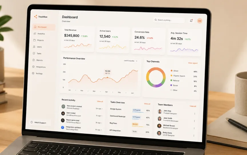
Territorial Management Software for CASSFREI

Organisation
CASSFREI
Role
IT Technician / Software Developer
Duration
2025 - Present
Tools & Technologies
Problem
CASSFREI provides topographic services, which meant its software needs were specific: tools for organizing territorial and land-survey data, plus reliable day-to-day IT support for the team producing that data.
My role
I split my time between hands-on IT support and consulting, and developing software for managing territorial data — a mix of infrastructure work (Linux systems, networking) and application development.
How I approached it
Topographic work depends on data being organized consistently and accessible when the team needs it in the field or the office. I focused on making the software match how the team actually works with land and survey data, rather than forcing an off-the-shelf structure onto it.
What’s shipping
Territorial-management software tailored to CASSFREI’s day-to-day operations, alongside ongoing technical support and IT consulting for the company.
What I’m learning
Supporting both the infrastructure and the software for the same team means I see the full impact of a technical decision — a networking issue and a software bug both land on the same desk, which keeps me honest about trade-offs that look fine on paper but cause friction in practice.
// Other works
Have a look at my other work
Digitizing Public Services at IPGUL
Working on the digitalization of public services at the Instituto de Planeamento e Gestão Urbana de Luanda — diagnosing organizational bottlenecks and automating processes end to end.
IPGUL
Backend Developer
Building an AI-Powered Agriculture Platform for Olela
Built the backend of an agricultural platform with AI integration for startup Olela, competing in the Lispa Hack 2024 challenge.
Startup Olela
Backend Developer